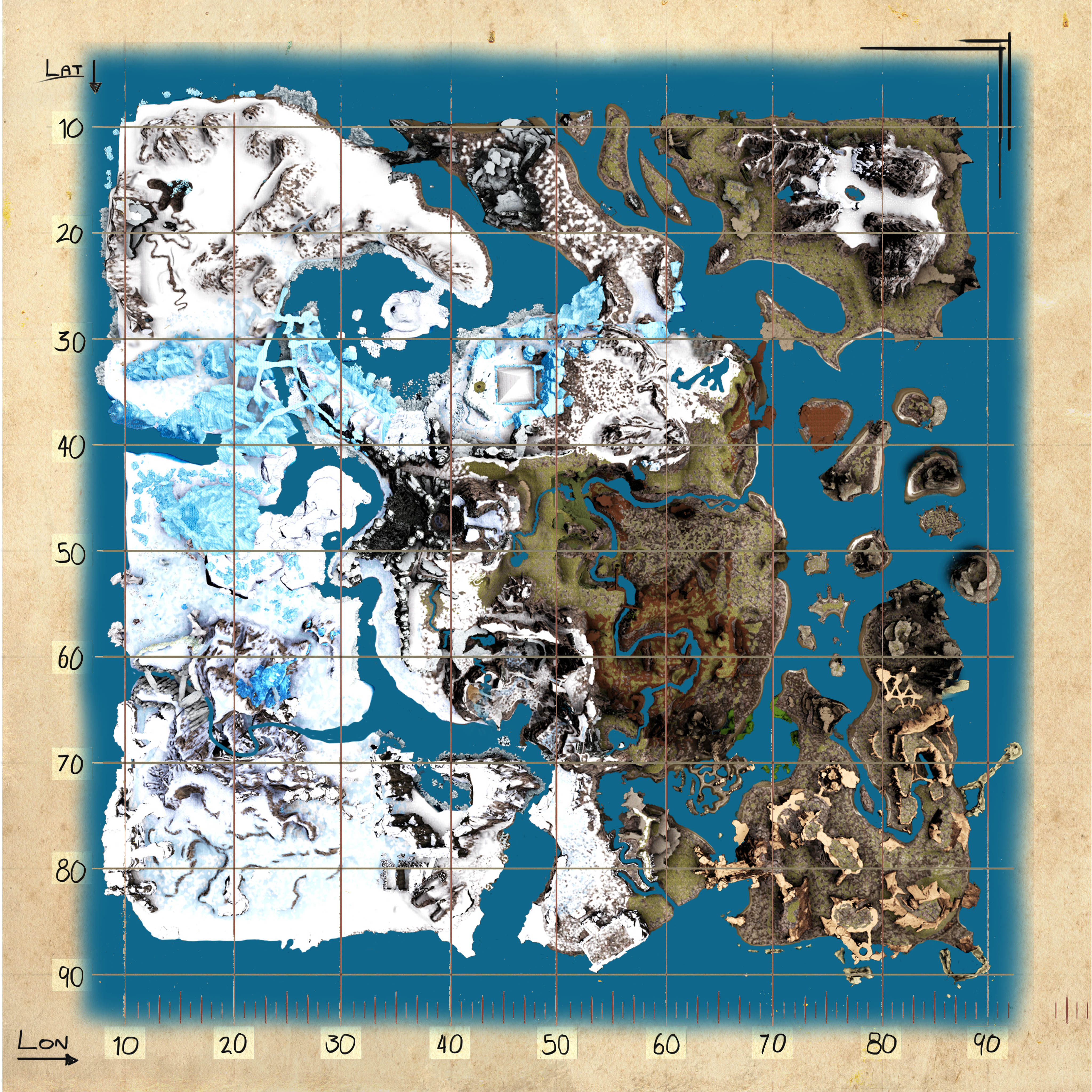
File:Antartika Topographic Map.jpg
Jump to navigation
Jump to search

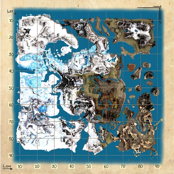
Size of this preview: 600 × 600 pixels. Other resolutions: 240 × 240 pixels | 4,096 × 4,096 pixels.
Original file (4,096 × 4,096 pixels, file size: 2.09 MB, MIME type: image/jpeg)
Licensing
| This file has been released into the public domain by the copyright holder, its copyright has expired, or it is ineligible for copyright. This applies worldwide. |
File history
Click on a date/time to view the file as it appeared at that time.
| Date/Time | Thumbnail | Dimensions | User | Comment | |
|---|---|---|---|---|---|
| current | 14:05, 6 April 2022 | | 4,096 × 4,096 (2.09 MB) | Maintenance script (talk | contribs) |
You cannot overwrite this file.
File usage
The following page uses this file: